CRGP Limited now have some quadcopter ‘drones’ or Remotely Piloted Aircraft Systems (RPAS) equipped with high definition (4k) cameras, and Commercial Drone Pilots appropriately trained and qualified to safely operate them.
ALL commercial operations of drones in the UK require Civil Aviation Authority permission and insurance cover. CRGP has a CAA Permission for Commercial Operations, PfCO in place (No.5408). We also carry full, specific insurance cover for the operation of our RPAS through CoverDrone. Our drone pilots undertook their training with NATS Prestwick.
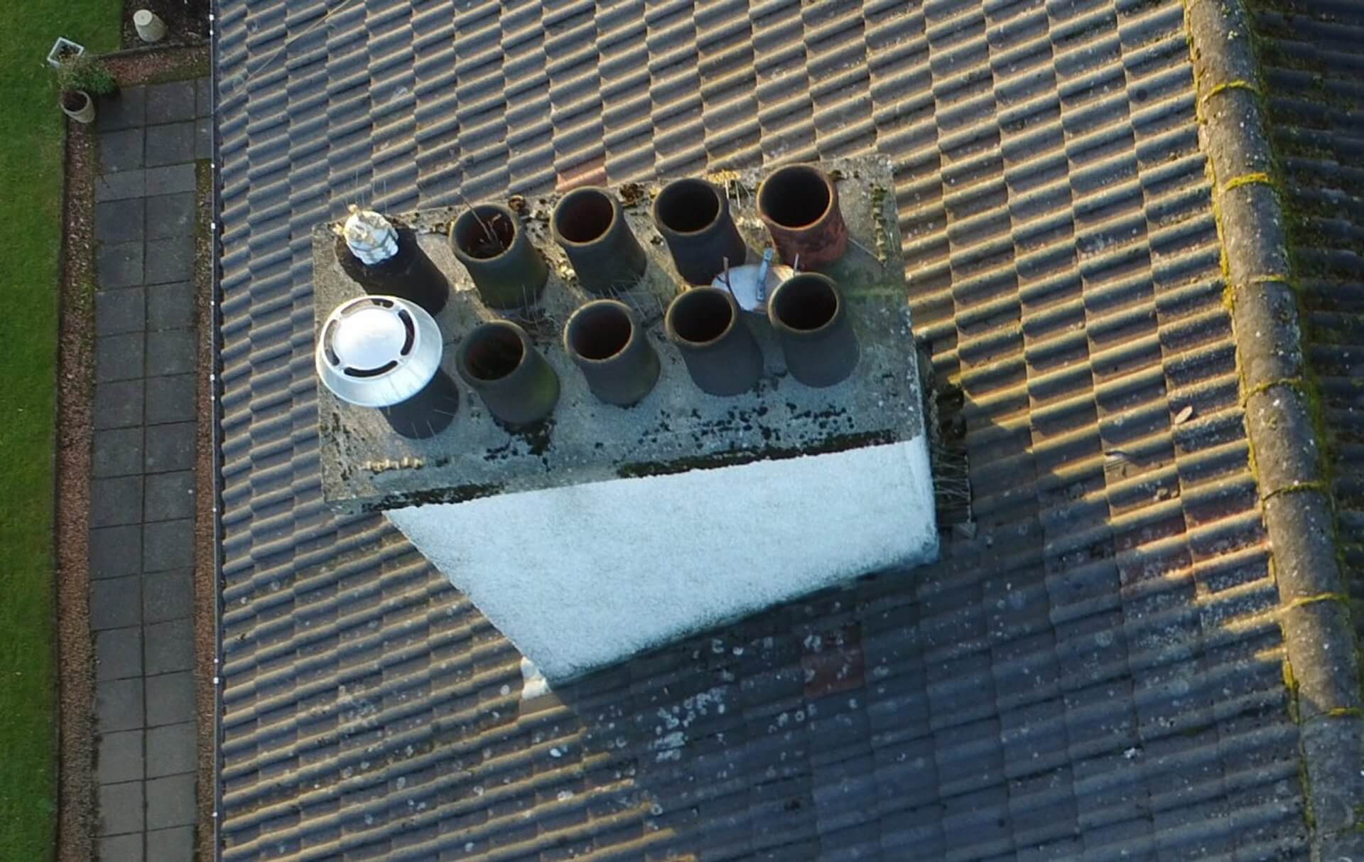
The drone allows super high definition photographs to be taken at height. The quadcopter reaches areas where a ‘cherry picker’ can’t and does not require cleared parking areas or hardstandings adjacent to the property being surveyed.
The drone does however require a controlled area to take off, land and fly. As holders of a PfCO we require a 30m controlled ‘bubble’ around the drone during take off and landing, and this extends to a 50m ‘bubble’ during flight. Anything within the ‘bubble’ must be in full control of the pilot/observers. The drone must be kept within a height of 400ft and within 500m from the pilot. It must always remain within the pilot’s line of sight.
It is not legal to fly a drone within restricted zones around airports or aerodromes and this extends 1km wide x 5km beyond the ends of runways, unless the express permission of that airport or aerodrome’s Air Traffic Control unit has been received.
Please refer to The Drone Code for guidance on the restrictions, but note that with our PfCO the in-flight ‘bubble’ is 50m, and not 150m as generally applies in congested areas.
In relation to working at height, the law requires that employers and self-employed contractors assess the risk from work at height and go on to organise and plan the work so it is carried out safely. See the Working at Height Regulations here. Working at height should be avoided where possible. Therefore, in most cases the survey of a roof or high level elevations requires the hire of a mobile access platform or scaffold, both of which are expensive, time-consuming and inflexible.
When used by properly trained personnel the drone has a low health and safety risk, is less disruptive than alternative access systems and provides relatively low cost, hi-resolution images.
Besides high level surveys the quadcopter is ideal for taking aerial photographs or videos of your property or site and for taking progress photographs of ongoing projects.
We have alternative options for when high level images are required but it may not be legal to fly a drone. To establish if it would be legal to fly a drone over your property or site or for more information please do not hesitate to contact us.


